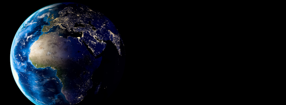
Somewhere in orbit, above the copper veins of Zambia, the dusted gold pits of Gauteng, and the sprawling rural roads of the Congo Basin, silent satellites drift. They circle silently, glass-eyed and tireless. They do not blink or sleep. And yet they see everything. This is not science fiction, it’s the backbone of a continent’s next transformation. Every continent has its myths. In Africa, gold has always carried a dual weight, both precious metal and historical burden. Now, gold is no longer just mined and measured, it’s monitored. Not by people in trucks, but by machines in the sky.
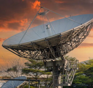
High-resolution satellite imaging, long used for climate tracking and military surveillance, is being turned on mining belts. On informal pits. On ghost trails of smuggling routes. The gold economy is becoming traceable, not at customs, but from space. And with it, a new type of legacy is being recorded. One made not of heirlooms or bloodlines, but of heat signatures and GPS time stamps. Once, maps were tools of conquest. Now, they are tools of consequence.
Open-source platforms allow ordinary citizens to map environmental violations. Local NGOs can now detect illegal dredging or deforestation caused by unauthorised mining within days, sometimes hours. Entire economies once cloaked in secrecy are being brought to light, pixel by pixel. That shimmer of satellite data isn’t just surveillance, it’s accountability and digital evidence. For governments too slow or too compromised to respond, the data becomes pressure. For regions long forgotten, it becomes proof of life. For researchers and activists, it offers a breadcrumb trail toward something more equitable.
Africa has long suffered under the weight of invisible systems. Gold extracted in rural Ghana ends up in vaults in London, often without a single digital breadcrumb to trace it back. That’s changing. Blockchain-backed supply chains are beginning to intersect with orbital oversight. The result? A system that can track a nugget from mine to mint. From a hillside outside Tarkwa to a trading desk in Zurich. From the hands of a barefoot miner to the wrist of a global executive. It’s not perfect. But it’s possible. And possibility, on this continent, is currency.
Legislation is struggling to catch up. But tech doesn’t wait. Some African governments are beginning to experiment with satellite-backed verification systems, pilot programs to ensure that what’s labeled “conflict-free” isn’t just marketing gloss. Even when mines close, the land remembers.
Satellite scans reveal water table collapse, land sinkage, and ecosystem fracture. They map the afterlife of industry, drawing long scars across the terrain. This cartography of consequence is both brutal and beautiful. It tells the truth.
It tells us that gold doesn’t disappear once sold. It leaves a footprint, sometimes glowing faintly in the infrared. And those ghostly remnants can be followed not just for forensic understanding, but for healing. In some regions, communities are using satellite data not only to hold companies accountable, but to rebuild. Reforest. Reclaim. Knowing the exact shape of damage makes restoration more than a dream, it makes it a project plan.
Of course, data alone can’t fix exploitation. Satellites don’t ask why a child is hauling ore. They can’t parse desperation from opportunity. They can only observe. But there’s power in knowing. A village suddenly visible in a dataset is no longer invisible to policy. An illegal site spotted from above becomes a case file. A statistic becomes a story. Images from orbit do not speak, but they provoke dialogue. They make it harder to look away. And sometimes, that’s the first step.
 One project in Madagascar used AI-assisted satellite imaging to identify areas of unregulated extraction. What followed wasn’t punishment, it was outreach, a mobile clinic. Because seeing clearly doesn’t always lead to crackdown. Sometimes it leads to compassion. One of the great ironies of modern Africa is that some of the most technologically surveilled lands are also the least resourced. Entire communities exist within reach of satellites powerful enough to detect a motorcycle, yet they struggle with electricity and clean water.
But this can be flipped. With satellites, borders blur. Patterns emerge. You start to see not just where gold is, but where it moves. Who follows it. Who profits. Who vanishes. You see corridors of movement that defy nation-states. You see behaviour that repeats across countries, across cultures, across decades.
Satellite data offers something that no political speech or corporate statement ever could: consistency. A cold, indifferent kind of truth that has the power to restore humanity to the equation. Perhaps the most poetic part of this orbital record-keeping is that it may outlast us all. When today’s miners are gone, when the markets shift again, and when the land finally reclaims the tunnels carved into its bones, these satellites will still be watching. Their archives will remain. And within them, a record of every glint, every shadow, every consequence.
In a way, they are writing our history from above. And that history, even if it started in blood and silence, might yet end in light. Because what is surveillance if not memory? And what is memory, if not legacy?
The skies remember everything. And now, so can we.